Path leading to bridge across the Sirhowy
Introduction
The photograph on this page of Path leading to bridge across the Sirhowy by Jaggery as part of the Geograph project.
The Geograph project started in 2005 with the aim of publishing, organising and preserving representative images for every square kilometre of Great Britain, Ireland and the Isle of Man.

There are currently over 7.5m images from over 14,400 individuals and you can help contribute to the project by visiting https://www.geograph.org.uk
Path leading to bridge across the Sirhowy
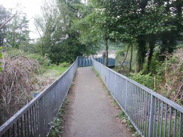
Image: © Jaggery Taken: 26 May 2010
The path has passed along the eastern edge of allotments http://www.geograph.org.uk/photo/1892465 and now approaches a footbridge over the Sirhowy river. On the other side of the river is Waunfawr Park.
Images are licensed for reuse under creativecommons.org/licenses/by-sa/2.0
Image Location
Latitude
51.6169
Longitude
-3.127977