Crosskeys Allotments
Introduction
The photograph on this page of Crosskeys Allotments by Jaggery as part of the Geograph project.
The Geograph project started in 2005 with the aim of publishing, organising and preserving representative images for every square kilometre of Great Britain, Ireland and the Isle of Man.

There are currently over 7.5m images from over 14,400 individuals and you can help contribute to the project by visiting https://www.geograph.org.uk
Crosskeys Allotments
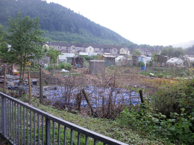
Image: © Jaggery Taken: 26 May 2010
The view across allotments occupying land between the Sirhowy river and Tredegar Street (in the distance).
Images are licensed for reuse under creativecommons.org/licenses/by-sa/2.0
Image Location
Latitude
51.6169
Longitude
-3.127977