Lovel Wood
Introduction
The photograph on this page of Lovel Wood by Rob Farrow as part of the Geograph project.
The Geograph project started in 2005 with the aim of publishing, organising and preserving representative images for every square kilometre of Great Britain, Ireland and the Isle of Man.

There are currently over 7.5m images from over 14,400 individuals and you can help contribute to the project by visiting https://www.geograph.org.uk
Lovel Wood
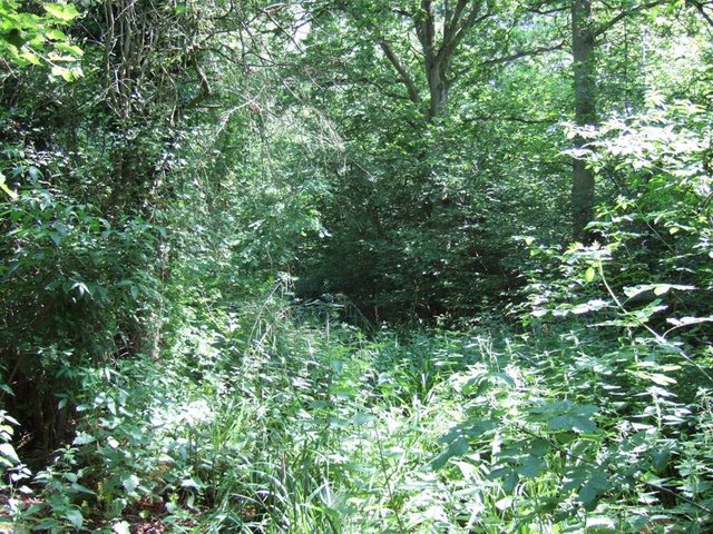
Image: © Rob Farrow Taken: 17 Jun 2006
Dense undergrowth and trees in Lovel Wood beside the A413 near the Bucks/Northants border.
Images are licensed for reuse under creativecommons.org/licenses/by-sa/2.0
Image Location
Latitude
52.070155
Longitude
-0.980176