Sanctuary ruins
Introduction
The photograph on this page of Sanctuary ruins by Phil Williams as part of the Geograph project.
The Geograph project started in 2005 with the aim of publishing, organising and preserving representative images for every square kilometre of Great Britain, Ireland and the Isle of Man.

There are currently over 7.5m images from over 14,400 individuals and you can help contribute to the project by visiting https://www.geograph.org.uk
Sanctuary ruins
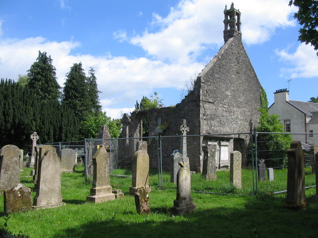
Image: © Phil Williams Taken: 28 May 2006
A view looking southeast over the old churchyard to the ruins of the sanctuary building at Rosneath.
Images are licensed for reuse under creativecommons.org/licenses/by-sa/2.0
Image Location


Leaflet Map data © OpenStreetMap
Latitude
56.008942
Longitude
-4.802082