Surviving fields in Failsworth
Introduction
The photograph on this page of Surviving fields in Failsworth by Bill Boaden as part of the Geograph project.
The Geograph project started in 2005 with the aim of publishing, organising and preserving representative images for every square kilometre of Great Britain, Ireland and the Isle of Man.

There are currently over 7.5m images from over 14,400 individuals and you can help contribute to the project by visiting https://www.geograph.org.uk
Surviving fields in Failsworth
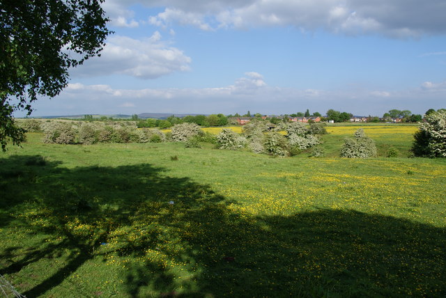
Image: © Bill Boaden Taken: 2 Jun 2010
Much green space has been swallowed up by spreading housing, but this band survives between Holt Lane End and Woodhouses. In the distance you can see Hartshead Pike and Alphin Pike.
Images are licensed for reuse under creativecommons.org/licenses/by-sa/2.0
Image Location
Latitude
53.504888
Longitude
-2.140478