Holt Lane Farm
Introduction
The photograph on this page of Holt Lane Farm by Bill Boaden as part of the Geograph project.
The Geograph project started in 2005 with the aim of publishing, organising and preserving representative images for every square kilometre of Great Britain, Ireland and the Isle of Man.

There are currently over 7.5m images from over 14,400 individuals and you can help contribute to the project by visiting https://www.geograph.org.uk
Holt Lane Farm
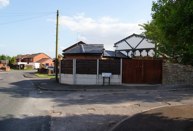
Image: © Bill Boaden Taken: 2 Jun 2010
A former farm that has been totally swallowed up in housing development. The name reflects Holt Lane End which was the name of the hamlet before it was absorbed by Failsworth.
Images are licensed for reuse under creativecommons.org/licenses/by-sa/2.0
Image Location
Latitude
53.506862
Longitude
-2.143651