Ashton Road East and Roman Road diverge
Introduction
The photograph on this page of Ashton Road East and Roman Road diverge by Bill Boaden as part of the Geograph project.
The Geograph project started in 2005 with the aim of publishing, organising and preserving representative images for every square kilometre of Great Britain, Ireland and the Isle of Man.

There are currently over 7.5m images from over 14,400 individuals and you can help contribute to the project by visiting https://www.geograph.org.uk
Ashton Road East and Roman Road diverge
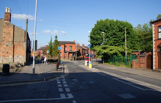
Image: © Bill Boaden Taken: 2 Jun 2010
Ashton Road East takes the right fork at the mini-roundabout. The left fork is Roman Road which does follow the route of a Roman road. Sharp left is Church Street which leads to St John's Church.
Images are licensed for reuse under creativecommons.org/licenses/by-sa/2.0
Image Location
Latitude
53.510898
Longitude
-2.150751