Highland Cattle
Introduction
The photograph on this page of Highland Cattle by Ann Harrison as part of the Geograph project.
The Geograph project started in 2005 with the aim of publishing, organising and preserving representative images for every square kilometre of Great Britain, Ireland and the Isle of Man.

There are currently over 7.5m images from over 14,400 individuals and you can help contribute to the project by visiting https://www.geograph.org.uk
Highland Cattle
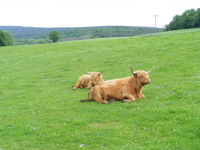
Image: © Ann Harrison Taken: 1 Jun 2010
This field extends from Balvenie castle to the A941, a road which runs from Lossiemouth to Rhynie in its extremities. Highland cattle can often be seen at this location.
Images are licensed for reuse under creativecommons.org/licenses/by-sa/2.0
Image Location
Latitude
57.450002
Longitude
-3.129908