Forge Hill and Mill Lane Junction
Introduction
The photograph on this page of Forge Hill and Mill Lane Junction by David Anstiss as part of the Geograph project.
The Geograph project started in 2005 with the aim of publishing, organising and preserving representative images for every square kilometre of Great Britain, Ireland and the Isle of Man.

There are currently over 7.5m images from over 14,400 individuals and you can help contribute to the project by visiting https://www.geograph.org.uk
Forge Hill and Mill Lane Junction
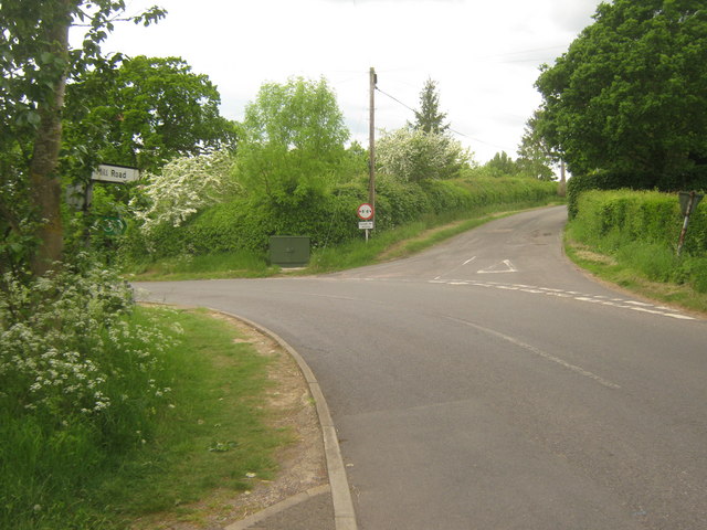
Image: © David Anstiss Taken: 30 May 2010
Forge Hill leads from Aldington to Bonnington. Mill Lane leads right towards Vale Farm. The Saxon Shore Way (long distance path) heads right along the lane from Blackthorn Wood.
Images are licensed for reuse under creativecommons.org/licenses/by-sa/2.0
Image Location


Leaflet Map data © OpenStreetMap
Latitude
51.088031
Longitude
0.939693