The footpath to Tarn Brow
Introduction
The photograph on this page of The footpath to Tarn Brow by Karl and Ali as part of the Geograph project.
The Geograph project started in 2005 with the aim of publishing, organising and preserving representative images for every square kilometre of Great Britain, Ireland and the Isle of Man.

There are currently over 7.5m images from over 14,400 individuals and you can help contribute to the project by visiting https://www.geograph.org.uk
The footpath to Tarn Brow
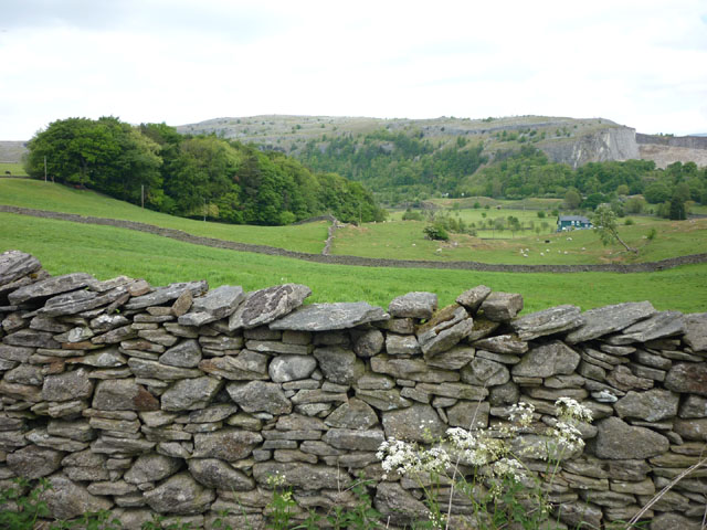
Image: © Karl and Ali Taken: 31 May 2010
No stile (on this wall or the one in the middle distance) and no waymarks. This was symptomatic of several public footpaths we walked (or tried to even) during our short ramble around Giggleswick. We don't think walkers are welcome here - NYCC have been notified.
Images are licensed for reuse under creativecommons.org/licenses/by-sa/2.0
Image Location
Latitude
54.074434
Longitude
-2.29996