Giggleswick golf course
Introduction
The photograph on this page of Giggleswick golf course by Karl and Ali as part of the Geograph project.
The Geograph project started in 2005 with the aim of publishing, organising and preserving representative images for every square kilometre of Great Britain, Ireland and the Isle of Man.

There are currently over 7.5m images from over 14,400 individuals and you can help contribute to the project by visiting https://www.geograph.org.uk
Giggleswick golf course
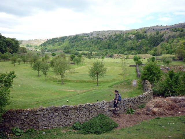
Image: © Karl and Ali Taken: 31 May 2010
It's hard to tell from the map if the right of way enters the golf course or stays outside their boundary wall. We had differing versions from golfers and residents of the house overlooking the course (whose garden MAY be traversed by the public footpath although there are no signs of entry/exit stiles).
Images are licensed for reuse under creativecommons.org/licenses/by-sa/2.0
Image Location
Latitude
54.076148
Longitude
-2.297221