Possible development land west of the Rosses Quay Estate
Introduction
The photograph on this page of Possible development land west of the Rosses Quay Estate by Eric Jones as part of the Geograph project.
The Geograph project started in 2005 with the aim of publishing, organising and preserving representative images for every square kilometre of Great Britain, Ireland and the Isle of Man.

There are currently over 7.5m images from over 14,400 individuals and you can help contribute to the project by visiting https://www.geograph.org.uk
Possible development land west of the Rosses Quay Estate
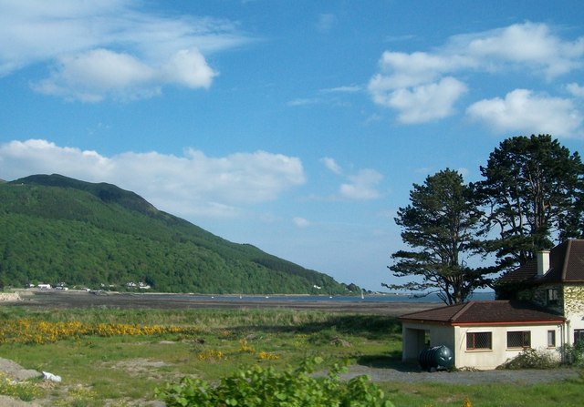
Image: © Eric Jones Taken: 25 May 2010
Most of the land between the A2 and the sea has now been developed with new housing estates and apartment blocks.
Images are licensed for reuse under creativecommons.org/licenses/by-sa/2.0
Image Location
Latitude
54.099543
Longitude
-6.204761