Coast path above Carbis Bay
Introduction
The photograph on this page of Coast path above Carbis Bay by Philip Halling as part of the Geograph project.
The Geograph project started in 2005 with the aim of publishing, organising and preserving representative images for every square kilometre of Great Britain, Ireland and the Isle of Man.

There are currently over 7.5m images from over 14,400 individuals and you can help contribute to the project by visiting https://www.geograph.org.uk
Coast path above Carbis Bay
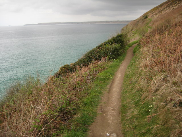
Image: © Philip Halling Taken: 26 Apr 2010
The South West Coast Path pictured above Carbis Bay, in the background are the sand dunes to the east of the Hayle estuary and Godrey Point and Island on the left.
Images are licensed for reuse under creativecommons.org/licenses/by-sa/2.0
Image Location
Latitude
50.197539
Longitude
-5.460355