View towards Larder Wood
Introduction
The photograph on this page of View towards Larder Wood by Espresso Addict as part of the Geograph project.
The Geograph project started in 2005 with the aim of publishing, organising and preserving representative images for every square kilometre of Great Britain, Ireland and the Isle of Man.

There are currently over 7.5m images from over 14,400 individuals and you can help contribute to the project by visiting https://www.geograph.org.uk
View towards Larder Wood
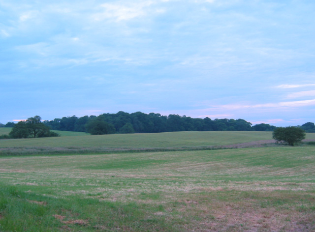
Image: © Espresso Addict Taken: 16 Jun 2006
The east side of the Whitchurch to Wrenbury road is predominantly undulating pasture land. This shows the view towards Larder Wood from the road just north of Blackpark Farm
Images are licensed for reuse under creativecommons.org/licenses/by-sa/2.0
Image Location
Latitude
52.989845
Longitude
-2.63308