Flood Diversion Channel, Stokesley
Introduction
The photograph on this page of Flood Diversion Channel, Stokesley by Mick Garratt as part of the Geograph project.
The Geograph project started in 2005 with the aim of publishing, organising and preserving representative images for every square kilometre of Great Britain, Ireland and the Isle of Man.

There are currently over 7.5m images from over 14,400 individuals and you can help contribute to the project by visiting https://www.geograph.org.uk
Flood Diversion Channel, Stokesley
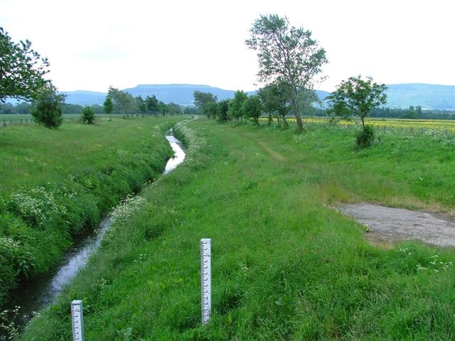
Image: © Mick Garratt Taken: 14 Jun 2005
The River Leven was notorious for bursting its banks at Stokesley. The town centre has been flooded on many occasions. This diversion channel is part of a successful scheme built in the 1970's to prevent such flooding.
Images are licensed for reuse under creativecommons.org/licenses/by-sa/2.0
Image Location


Leaflet Map data © OpenStreetMap
Latitude
54.469058
Longitude
-1.176041