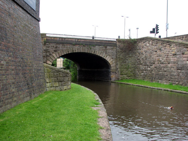
Nottingham Canal, Bridge 2
Introduction
The photograph on this page of Nottingham Canal, Bridge 2 by John Sutton as part of the Geograph project.
The Geograph project started in 2005 with the aim of publishing, organising and preserving representative images for every square kilometre of Great Britain, Ireland and the Isle of Man.
There are currently over 7.5m images from over 14,400 individuals and you can help contribute to the project by visiting https://www.geograph.org.uk

Image: © John Sutton Taken: 31 May 2010
The ramps either side of the bridge - spiral to the left, straight to the right - enabled horses to cross where the towpath changed sides. The bridge once led to the shared forecourts of London Road High and Low Level stations. The forecourts' blue-brick retaining wall is on the left. There is now no trace of the High Level station, but the Great Northern's grand terminus, by the Nottingham architect T C Hine, remains and is now a health and fitness club. The winding hole (or turning basin), where narrowboats were turned and the canal bends sharp west under London Road, is behind the camera. The traffic lights and neon street lights are on London Road.

