Plants Brook and new cycle route
Introduction
The photograph on this page of Plants Brook and new cycle route by Michael Westley as part of the Geograph project.
The Geograph project started in 2005 with the aim of publishing, organising and preserving representative images for every square kilometre of Great Britain, Ireland and the Isle of Man.

There are currently over 7.5m images from over 14,400 individuals and you can help contribute to the project by visiting https://www.geograph.org.uk
Plants Brook and new cycle route
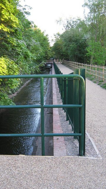
Image: © Michael Westley Taken: 22 May 2010
New Sustrans route and permissive footpath through grounds of Ramada Hotel, Penns Lane. View as route crosses Plants Brook, close to Seb Coe Sports Club in grounds of hotel
Images are licensed for reuse under creativecommons.org/licenses/by-sa/2.0
Image Location
Latitude
52.536959
Longitude
-1.810212