Traffic calming at western edge of Wattsville
Introduction
The photograph on this page of Traffic calming at western edge of Wattsville by Jaggery as part of the Geograph project.
The Geograph project started in 2005 with the aim of publishing, organising and preserving representative images for every square kilometre of Great Britain, Ireland and the Isle of Man.

There are currently over 7.5m images from over 14,400 individuals and you can help contribute to the project by visiting https://www.geograph.org.uk
Traffic calming at western edge of Wattsville
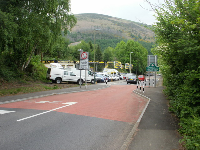
Image: © Jaggery Taken: 26 May 2010
At this point along the A4048, Duffryn Road, Brynawel becomes Nine Mile Point Road, Wattsville. Adjacent to the Wattsville sign, the road briefly narrows as a traffic calming measure.
Images are licensed for reuse under creativecommons.org/licenses/by-sa/2.0
Image Location
Latitude
51.61395
Longitude
-3.153901