A forest track
Introduction
The photograph on this page of A forest track by Ann Cook as part of the Geograph project.
The Geograph project started in 2005 with the aim of publishing, organising and preserving representative images for every square kilometre of Great Britain, Ireland and the Isle of Man.

There are currently over 7.5m images from over 14,400 individuals and you can help contribute to the project by visiting https://www.geograph.org.uk
A forest track
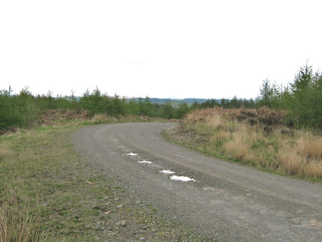
Image: © Ann Cook Taken: 3 May 2010
A path, from the car park at Kenick Burn, goes through some young woodland and out, onto this forest track. The path is immediately on the left.
Images are licensed for reuse under creativecommons.org/licenses/by-sa/2.0
Image Location


Leaflet Map data © OpenStreetMap
Latitude
54.96049
Longitude
-4.08373