The road to Wig-Fach
Introduction
The photograph on this page of The road to Wig-Fach by eswales as part of the Geograph project.
The Geograph project started in 2005 with the aim of publishing, organising and preserving representative images for every square kilometre of Great Britain, Ireland and the Isle of Man.

There are currently over 7.5m images from over 14,400 individuals and you can help contribute to the project by visiting https://www.geograph.org.uk
The road to Wig-Fach
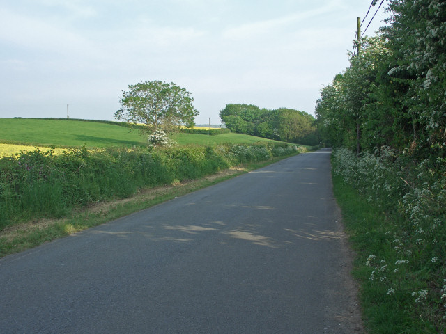
Image: © eswales Taken: 26 May 2010
A view of some of the straight section of this road immediately to the south of its junction with the A4106. Arable farmland lies to the east of this stretch of road; caravanning and camping areas to the west.
Images are licensed for reuse under creativecommons.org/licenses/by-sa/2.0
Image Location
Latitude
51.490771
Longitude
-3.655944