River Idle at Mattersey looking West
Introduction
The photograph on this page of River Idle at Mattersey looking West by Sue Adair as part of the Geograph project.
The Geograph project started in 2005 with the aim of publishing, organising and preserving representative images for every square kilometre of Great Britain, Ireland and the Isle of Man.

There are currently over 7.5m images from over 14,400 individuals and you can help contribute to the project by visiting https://www.geograph.org.uk
River Idle at Mattersey looking West
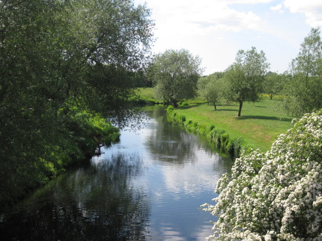
Image: © Sue Adair Taken: 28 May 2010
The River Idle runs for 26 miles and is navigable for 11 miles from Bawtry to West Stockwith where it meets the River Trent.
Images are licensed for reuse under creativecommons.org/licenses/by-sa/2.0
Image Location
Latitude
53.39929
Longitude
-0.96643