Fowler's Hill
Introduction
The photograph on this page of Fowler's Hill by Sharon Loxton as part of the Geograph project.
The Geograph project started in 2005 with the aim of publishing, organising and preserving representative images for every square kilometre of Great Britain, Ireland and the Isle of Man.

There are currently over 7.5m images from over 14,400 individuals and you can help contribute to the project by visiting https://www.geograph.org.uk
Fowler's Hill
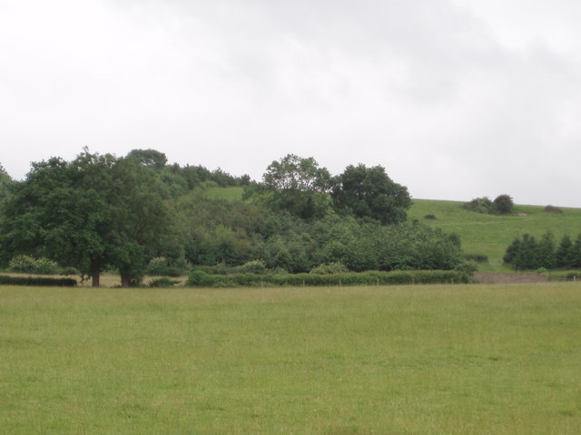
Image: © Sharon Loxton Taken: 19 Jun 2006
A view of Fowler's Hill, which reaches 65m high, taken from near the road 20m below.
Images are licensed for reuse under creativecommons.org/licenses/by-sa/2.0
Image Location
Latitude
51.608402
Longitude
-2.558799