Pauperhaugh, Brinkburn
Introduction
The photograph on this page of Pauperhaugh, Brinkburn by Humphrey Bolton as part of the Geograph project.
The Geograph project started in 2005 with the aim of publishing, organising and preserving representative images for every square kilometre of Great Britain, Ireland and the Isle of Man.

There are currently over 7.5m images from over 14,400 individuals and you can help contribute to the project by visiting https://www.geograph.org.uk
Pauperhaugh, Brinkburn
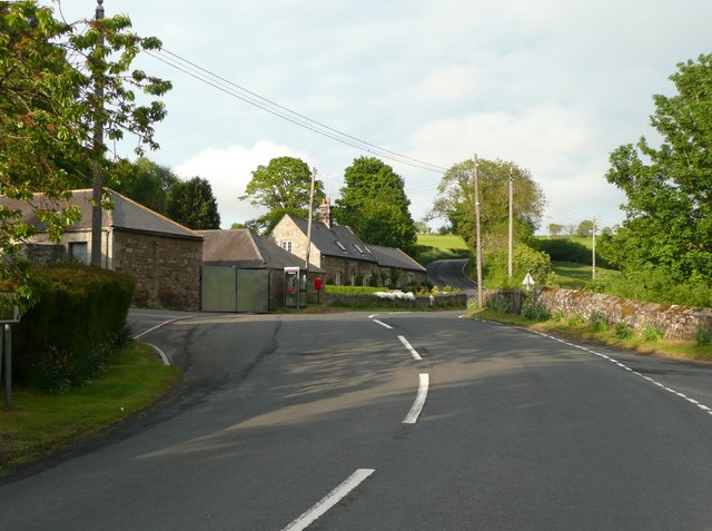
Image: © Humphrey Bolton Taken: 26 May 2010
The B6344 winds its way past the telephone box, letter box and the few houses in this hamlet.
Images are licensed for reuse under creativecommons.org/licenses/by-sa/2.0
Image Location


Leaflet Map data © OpenStreetMap
Latitude
55.28952
Longitude
-1.842513