Field in Long Bottom
Introduction
The photograph on this page of Field in Long Bottom by Derek Harper as part of the Geograph project.
The Geograph project started in 2005 with the aim of publishing, organising and preserving representative images for every square kilometre of Great Britain, Ireland and the Isle of Man.

There are currently over 7.5m images from over 14,400 individuals and you can help contribute to the project by visiting https://www.geograph.org.uk
Field in Long Bottom
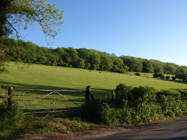
Image: © Derek Harper Taken: 23 May 2010
Seen from the lane down the valley, also called Longbottom. Above the grazing cattle, a strip of woodland less than 70 metres wide occupies the steepest part of the valley slope.
Images are licensed for reuse under creativecommons.org/licenses/by-sa/2.0
Image Location
Latitude
51.304958
Longitude
-2.788931