Ham Common, pond
Introduction
The photograph on this page of Ham Common, pond by Mike Faherty as part of the Geograph project.
The Geograph project started in 2005 with the aim of publishing, organising and preserving representative images for every square kilometre of Great Britain, Ireland and the Isle of Man.

There are currently over 7.5m images from over 14,400 individuals and you can help contribute to the project by visiting https://www.geograph.org.uk
Ham Common, pond
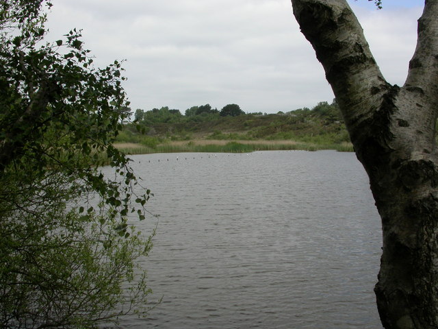
Image: © Mike Faherty Taken: 31 May 2010
Pond on the site of old ball-clay workings; extraction finished in the 1920s.
Images are licensed for reuse under creativecommons.org/licenses/by-sa/2.0
Image Location
Latitude
50.715117
Longitude
-2.025302