View over Laverton and Dallowgill
Introduction
The photograph on this page of View over Laverton and Dallowgill by roger nightingale as part of the Geograph project.
The Geograph project started in 2005 with the aim of publishing, organising and preserving representative images for every square kilometre of Great Britain, Ireland and the Isle of Man.

There are currently over 7.5m images from over 14,400 individuals and you can help contribute to the project by visiting https://www.geograph.org.uk
View over Laverton and Dallowgill
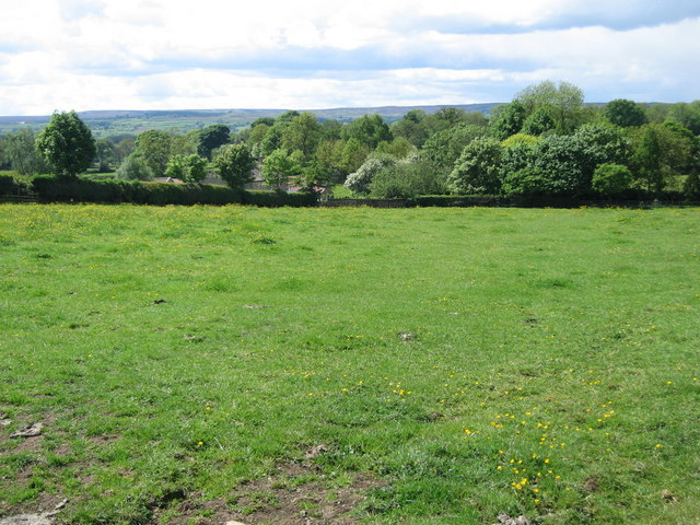
Image: © roger nightingale Taken: 30 May 2010
View from footpath towards Laverton and Dallowgill. An excellent walk through Meadows surrounding Kirkby Malzeard and Laverton. Dallowgill and the hills in the distance are all grouse moors.
Images are licensed for reuse under creativecommons.org/licenses/by-sa/2.0
Image Location


Leaflet Map data © OpenStreetMap
Latitude
54.158234
Longitude
-1.646839