Blasted oak, Wettenhall
Introduction
The photograph on this page of Blasted oak, Wettenhall by Mike Harris as part of the Geograph project.
The Geograph project started in 2005 with the aim of publishing, organising and preserving representative images for every square kilometre of Great Britain, Ireland and the Isle of Man.

There are currently over 7.5m images from over 14,400 individuals and you can help contribute to the project by visiting https://www.geograph.org.uk
Blasted oak, Wettenhall
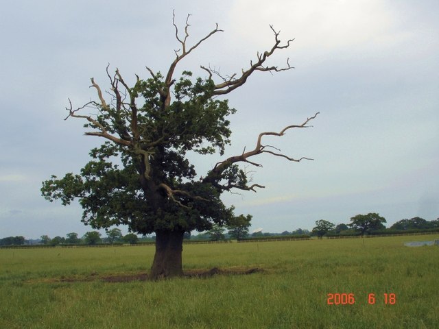
Image: © Mike Harris Taken: 18 Jun 2006
Blasted oak tree in field near Woodside Farm, Wettenhall. Taken from the footpath running west, north and then NE to Darnhall. The Darnhall radio telescope (linked to Jodrell Bank) is just visible in the distance, immediately to the right of the tree. Field used for grazing beef cattle.
Images are licensed for reuse under creativecommons.org/licenses/by-sa/2.0
Image Location
Latitude
53.146414
Longitude
-2.547019