View over fields at Kirkby Malzeard
Introduction
The photograph on this page of View over fields at Kirkby Malzeard by roger nightingale as part of the Geograph project.
The Geograph project started in 2005 with the aim of publishing, organising and preserving representative images for every square kilometre of Great Britain, Ireland and the Isle of Man.

There are currently over 7.5m images from over 14,400 individuals and you can help contribute to the project by visiting https://www.geograph.org.uk
View over fields at Kirkby Malzeard
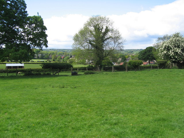
Image: © roger nightingale Taken: 30 May 2010
A view from field path towards Kirkby Malzeard playing fields and farm buildings.Houses in the centre right are the back of Kirkby Malzeard. In the distance the rising hills above Kex Beck and Ringbeck.
Images are licensed for reuse under creativecommons.org/licenses/by-sa/2.0
Image Location
Latitude
54.161476
Longitude
-1.648956