Clytha Crescent, Newport
Introduction
The photograph on this page of Clytha Crescent, Newport by Jaggery as part of the Geograph project.
The Geograph project started in 2005 with the aim of publishing, organising and preserving representative images for every square kilometre of Great Britain, Ireland and the Isle of Man.

There are currently over 7.5m images from over 14,400 individuals and you can help contribute to the project by visiting https://www.geograph.org.uk
Clytha Crescent, Newport
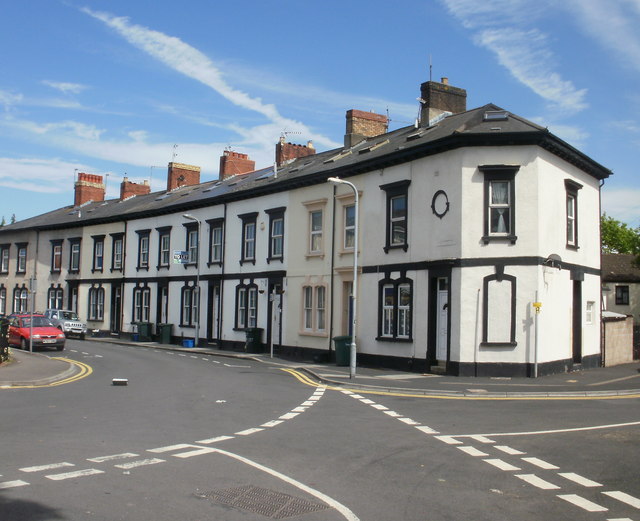
Image: © Jaggery Taken: 30 May 2010
Clytha Crescent, on the southeastern side of Cardiff Road, dates from the early 1870s. In view is the southern half of the crescent. The northern half continues on the far side of Mountjoy Place.
Images are licensed for reuse under creativecommons.org/licenses/by-sa/2.0
Image Location
Latitude
51.580343
Longitude
-2.994296