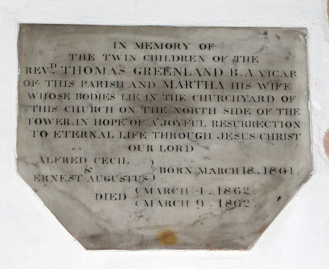
St Peter's church in Wenhaston - C19 memorial
Introduction
The photograph on this page of St Peter's church in Wenhaston - C19 memorial by Evelyn Simak as part of the Geograph project.
The Geograph project started in 2005 with the aim of publishing, organising and preserving representative images for every square kilometre of Great Britain, Ireland and the Isle of Man.
There are currently over 7.5m images from over 14,400 individuals and you can help contribute to the project by visiting https://www.geograph.org.uk

Image: © Evelyn Simak Taken: 29 May 2010
Now that the massive ancient tree that had been growing in the churchyard has been felled it is possible to get a view of St Peter's south side > http://www.geograph.org.uk/photo/1887181. The church is of Norman origins. Tower and arcade were added in the 14th century and the nave and aisle windows date from the 16th century. The octagonal baptismal font > http://www.geograph.org.uk/photo/1887218 dates from the 15th century, the pulpit > http://www.geograph.org.uk/photo/1887207 is Jacobean. The church's greatest treasure is the Doom > http://www.geograph.org.uk/photo/1887220 - a Last Judgement painting believed to have been made by a monk from Blythburgh in around 1480. Originally it was placed in the upper section of the chancel arch and probably covered up (and forgotten about) during the Protestant reign of Edward VI in 1549. In the course of a late 1800s restoration this whitewashed 'partition' was disassembled and the parts taken out into the churchyard, awaiting demolition. After heavy rainfalls had washed off some of the plaster the underlying paintings became visible and the piece was reassembled, restored and brought back inside the church where it is now displayed on the north wall. Paintings of this type once used to be very common in medieval churches but only very few have survived.

