Field, Flax Bourton
Introduction
The photograph on this page of Field, Flax Bourton by Derek Harper as part of the Geograph project.
The Geograph project started in 2005 with the aim of publishing, organising and preserving representative images for every square kilometre of Great Britain, Ireland and the Isle of Man.

There are currently over 7.5m images from over 14,400 individuals and you can help contribute to the project by visiting https://www.geograph.org.uk
Field, Flax Bourton
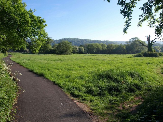
Image: © Derek Harper Taken: 23 May 2010
A tarmac footpath provides a safe alternative to walking along Station Road, which runs parallel to the left. On the right is Image, which has lost a good deal of its height in just over four years.
Images are licensed for reuse under creativecommons.org/licenses/by-sa/2.0
Image Location
Latitude
51.42328
Longitude
-2.706112