Flytip, Fovant
Introduction
The photograph on this page of Flytip, Fovant by Maigheach-gheal as part of the Geograph project.
The Geograph project started in 2005 with the aim of publishing, organising and preserving representative images for every square kilometre of Great Britain, Ireland and the Isle of Man.

There are currently over 7.5m images from over 14,400 individuals and you can help contribute to the project by visiting https://www.geograph.org.uk
Flytip, Fovant
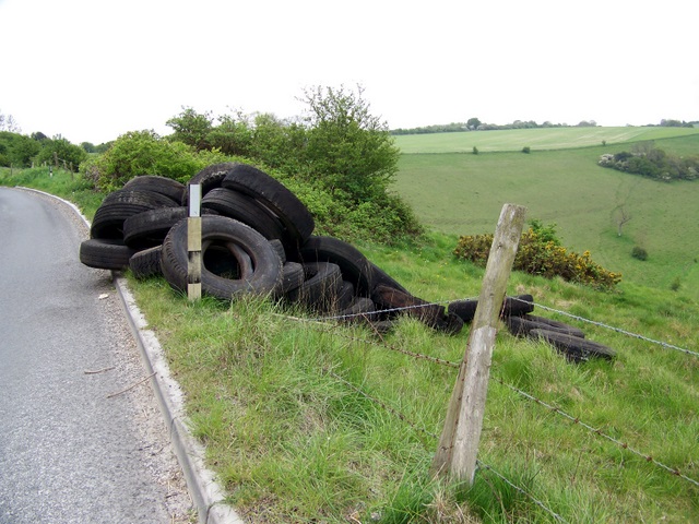
Image: © Maigheach-gheal Taken: 5 May 2010
A load of tyres have been dumped beside the minor road that connects the Chalke Valley to the A30. Many have rolled down the steep hillside. Fly-tipping is the illegal dumping of waste. It can vary in scale significantly from a bin bag of rubbish to large quantities of waste dumped from trucks. Fly-tipped waste may be found anywhere, such as roadsides, in lay-bys or on private land.
Images are licensed for reuse under creativecommons.org/licenses/by-sa/2.0
Image Location


Leaflet Map data © OpenStreetMap
Latitude
51.041995
Longitude
-1.997382