Westacre Close
Introduction
The photograph on this page of Westacre Close by Nigel Mykura as part of the Geograph project.
The Geograph project started in 2005 with the aim of publishing, organising and preserving representative images for every square kilometre of Great Britain, Ireland and the Isle of Man.

There are currently over 7.5m images from over 14,400 individuals and you can help contribute to the project by visiting https://www.geograph.org.uk
Westacre Close
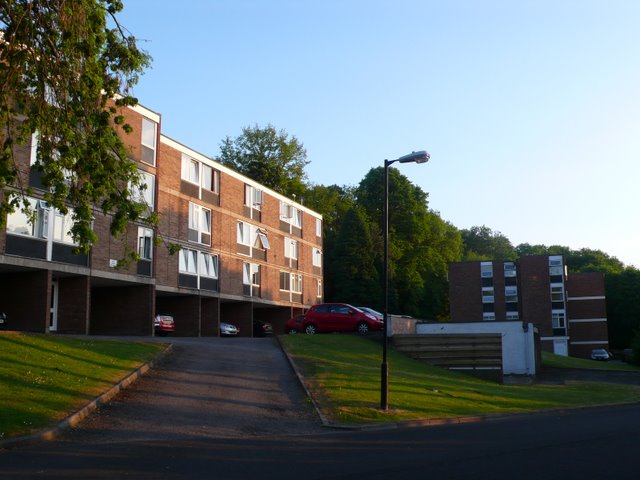
Image: © Nigel Mykura Taken: 24 May 2010
These flats are on the north side of Westacre Close just off Brentry Hill, the A4018 running north out of Bristol between Westbury on Trym and Cribbs Causeway.
Images are licensed for reuse under creativecommons.org/licenses/by-sa/2.0
Image Location
Latitude
51.504801
Longitude
-2.616314