Fields below Standedge
Introduction
The photograph on this page of Fields below Standedge by Bill Boaden as part of the Geograph project.
The Geograph project started in 2005 with the aim of publishing, organising and preserving representative images for every square kilometre of Great Britain, Ireland and the Isle of Man.

There are currently over 7.5m images from over 14,400 individuals and you can help contribute to the project by visiting https://www.geograph.org.uk
Fields below Standedge
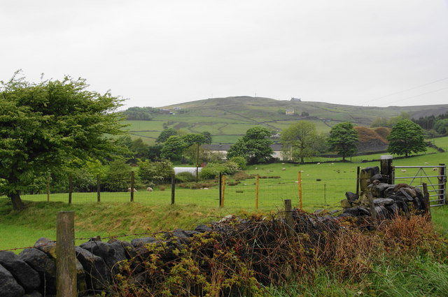
Image: © Bill Boaden Taken: 29 May 2010
On the hill behind, you can see a bus on the A62 which crosses the Pennines at this point.
Images are licensed for reuse under creativecommons.org/licenses/by-sa/2.0
Image Location
Latitude
53.573821
Longitude
-1.98486