Mill Farm, Isington
Introduction
The photograph on this page of Mill Farm, Isington by Colin Smith as part of the Geograph project.
The Geograph project started in 2005 with the aim of publishing, organising and preserving representative images for every square kilometre of Great Britain, Ireland and the Isle of Man.

There are currently over 7.5m images from over 14,400 individuals and you can help contribute to the project by visiting https://www.geograph.org.uk
Mill Farm, Isington
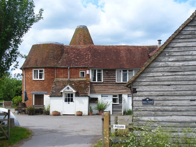
Image: © Colin Smith Taken: 30 May 2010
Picturesque converted oast house in Isington. the surrounding countryside once had many hop fields which supplied the former brewing industry in Alton and Farnham. http://www.bentleyvillage.com/homepage.htm
Images are licensed for reuse under creativecommons.org/licenses/by-sa/2.0
Image Location


Leaflet Map data © OpenStreetMap
Latitude
51.177227
Longitude
-0.894133