Housing on Otterham Quay Lane
Introduction
The photograph on this page of Housing on Otterham Quay Lane by Penny Mayes as part of the Geograph project.
The Geograph project started in 2005 with the aim of publishing, organising and preserving representative images for every square kilometre of Great Britain, Ireland and the Isle of Man.

There are currently over 7.5m images from over 14,400 individuals and you can help contribute to the project by visiting https://www.geograph.org.uk
Housing on Otterham Quay Lane
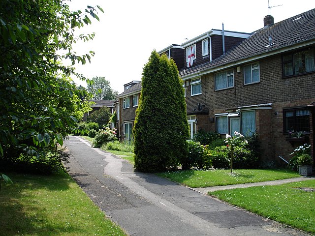
Image: © Penny Mayes Taken: 16 Jun 2006
This is just north of the railway and the road rises up, just out of shot to the left, to cross the bridge so these homes don't have much of a view.
Images are licensed for reuse under creativecommons.org/licenses/by-sa/2.0
Image Location


Leaflet Map data © OpenStreetMap
Latitude
51.362812
Longitude
0.621511