Luggie Water Aqueduct, Kirkintilloch
Introduction
The photograph on this page of Luggie Water Aqueduct, Kirkintilloch by Robert Murray as part of the Geograph project.
The Geograph project started in 2005 with the aim of publishing, organising and preserving representative images for every square kilometre of Great Britain, Ireland and the Isle of Man.

There are currently over 7.5m images from over 14,400 individuals and you can help contribute to the project by visiting https://www.geograph.org.uk
Luggie Water Aqueduct, Kirkintilloch
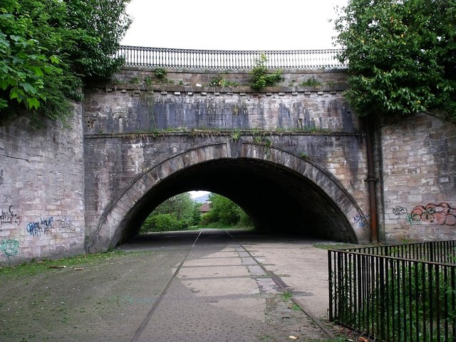
Image: © Robert Murray Taken: 29 May 2010
Quite an amazing structure adapted by Victorian railway engineers. See RCAHMS report www.canmore.rcahms.gov.uk/en/site/168444/details/forth+and+clyde+canal+kirkintilloch+luggie+water+aqueduct/
Images are licensed for reuse under creativecommons.org/licenses/by-sa/2.0
Image Location
Latitude
55.939616
Longitude
-4.150743