The River Bann near Carnroe
Introduction
The photograph on this page of The River Bann near Carnroe by Albert Bridge as part of the Geograph project.
The Geograph project started in 2005 with the aim of publishing, organising and preserving representative images for every square kilometre of Great Britain, Ireland and the Isle of Man.

There are currently over 7.5m images from over 14,400 individuals and you can help contribute to the project by visiting https://www.geograph.org.uk
The River Bann near Carnroe
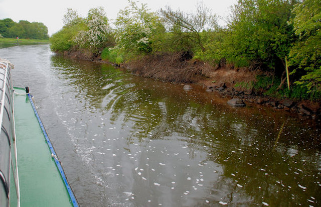
Image: © Albert Bridge Taken: 29 May 2010
The passage along the River Bann is not something to be undertaken by the inexperienced. The safe course is not just straight down the middle. In this case, approaching the lack at Carnroe, we were very close to the east bank before heading out again to enter the lock.
Images are licensed for reuse under creativecommons.org/licenses/by-sa/2.0
Image Location
Latitude
55.011224
Longitude
-6.579444