Railway map in York Station
Introduction
The photograph on this page of Railway map in York Station by David Smith as part of the Geograph project.
The Geograph project started in 2005 with the aim of publishing, organising and preserving representative images for every square kilometre of Great Britain, Ireland and the Isle of Man.

There are currently over 7.5m images from over 14,400 individuals and you can help contribute to the project by visiting https://www.geograph.org.uk
Railway map in York Station
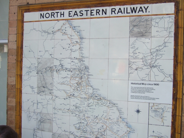
Image: © David Smith Taken: 23 May 2010
A map of the lines of the North Eastern railway, circa 1900
Images are licensed for reuse under creativecommons.org/licenses/by-sa/2.0
Image Location
Latitude
53.958497
Longitude
-1.092256