St Albans Avenue
Introduction
The photograph on this page of St Albans Avenue by Bill Boaden as part of the Geograph project.
The Geograph project started in 2005 with the aim of publishing, organising and preserving representative images for every square kilometre of Great Britain, Ireland and the Isle of Man.

There are currently over 7.5m images from over 14,400 individuals and you can help contribute to the project by visiting https://www.geograph.org.uk
St Albans Avenue
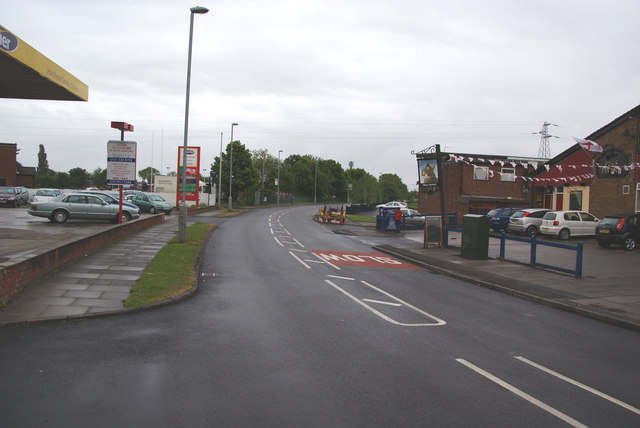
Image: © Bill Boaden Taken: 29 May 2010
An important road north of Broadoak to access much of the newer housing development. Ashton rugby club is just beyond the garage on the left.
Images are licensed for reuse under creativecommons.org/licenses/by-sa/2.0
Image Location
Latitude
53.506373
Longitude
-2.092235