Field at Ury House
Introduction
The photograph on this page of Field at Ury House by Anne Burgess as part of the Geograph project.
The Geograph project started in 2005 with the aim of publishing, organising and preserving representative images for every square kilometre of Great Britain, Ireland and the Isle of Man.

There are currently over 7.5m images from over 14,400 individuals and you can help contribute to the project by visiting https://www.geograph.org.uk
Field at Ury House
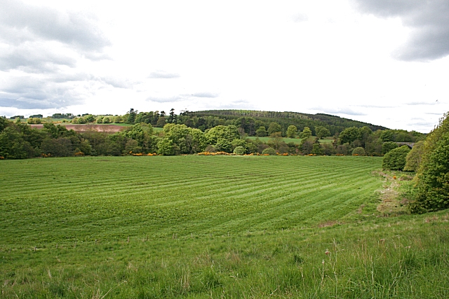
Image: © Anne Burgess Taken: 28 May 2010
Unlike the house, the land is being looked after. The distant bridge spans the Cowie Water.
Images are licensed for reuse under creativecommons.org/licenses/by-sa/2.0
Image Location
Latitude
56.980635
Longitude
-2.236897