Sutton-Cheam railway (2)
Introduction
The photograph on this page of Sutton-Cheam railway (2) by Stephen Richards as part of the Geograph project.
The Geograph project started in 2005 with the aim of publishing, organising and preserving representative images for every square kilometre of Great Britain, Ireland and the Isle of Man.

There are currently over 7.5m images from over 14,400 individuals and you can help contribute to the project by visiting https://www.geograph.org.uk
Sutton-Cheam railway (2)
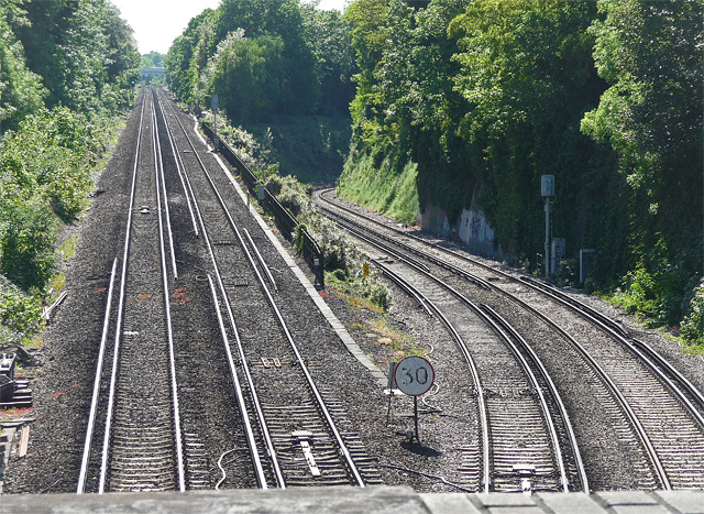
Image: © Stephen Richards Taken: Unknown
The straight line leads to Cheam, the sinuous one to West Sutton on the Thameslink route. I know next to nothing about such matters, but the latter looks to me to be unusually steep for a railway. Could it explain some of Thameslink's delays? I'm certainly surprised they've never tried that one on. Taken from the aptly-named Bridge Road, looking in the opposite direction to this photo: Image
Images are licensed for reuse under creativecommons.org/licenses/by-sa/2.0
Image Location
Latitude
51.358679
Longitude
-0.197769