Watford: Queen's Road
Introduction
The photograph on this page of Watford: Queen's Road by Nigel Cox as part of the Geograph project.
The Geograph project started in 2005 with the aim of publishing, organising and preserving representative images for every square kilometre of Great Britain, Ireland and the Isle of Man.

There are currently over 7.5m images from over 14,400 individuals and you can help contribute to the project by visiting https://www.geograph.org.uk
Watford: Queen's Road
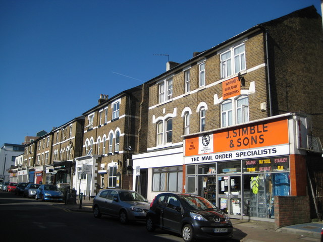
Image: © Nigel Cox Taken: 23 May 2010
The western side of Queen's Road has these distinctive mid-Victorian three storey houses, the lower floors of which have been converted into shops. To the right is the shop of J Simble and Sons http://www.simbles.com/site/ who have been here selling ironmongery and tools for many years.
Images are licensed for reuse under creativecommons.org/licenses/by-sa/2.0
Image Location
Latitude
51.657452
Longitude
-0.392828