St Matthews Community Centre
Introduction
The photograph on this page of St Matthews Community Centre by Philip Barker as part of the Geograph project.
The Geograph project started in 2005 with the aim of publishing, organising and preserving representative images for every square kilometre of Great Britain, Ireland and the Isle of Man.

There are currently over 7.5m images from over 14,400 individuals and you can help contribute to the project by visiting https://www.geograph.org.uk
St Matthews Community Centre
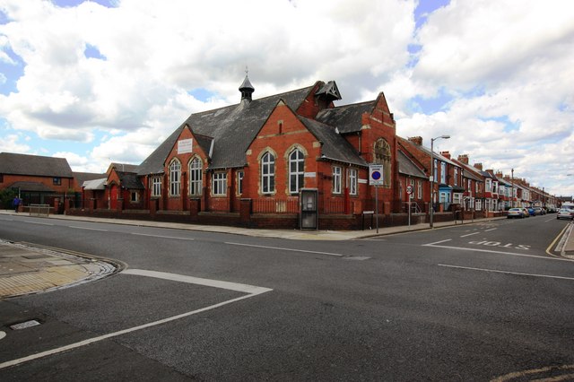
Image: © Philip Barker Taken: 28 May 2010
This photograph shows a view of St Matthews Community Centre and the Stranton Church Parish Centre. The building is located in the north-west quadrant of the areas formed by the intersection of Elwick Road (running across the image) with Arncliffe Gardens (ahead) and Baden Street (behind the photographer). The picture was taken looking in a north-westerly direction towards Ward Jackson Park.
Images are licensed for reuse under creativecommons.org/licenses/by-sa/2.0
Image Location
Latitude
54.679308
Longitude
-1.223281