Margaret Macmillan Park, redeveloped (3)
Introduction
The photograph on this page of Margaret Macmillan Park, redeveloped (3) by Stephen Craven as part of the Geograph project.
The Geograph project started in 2005 with the aim of publishing, organising and preserving representative images for every square kilometre of Great Britain, Ireland and the Isle of Man.

There are currently over 7.5m images from over 14,400 individuals and you can help contribute to the project by visiting https://www.geograph.org.uk
Margaret Macmillan Park, redeveloped (3)
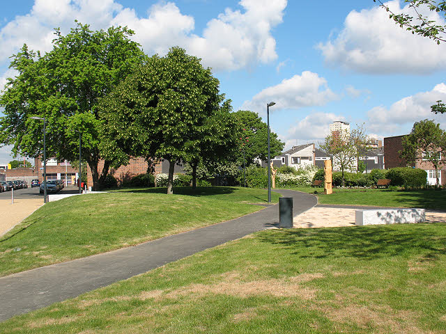
Image: © Stephen Craven Taken: 28 May 2010
This park was redeveloped in the first half of 2010. A view looking from the southern end of Warwickshire Path. The tower in the distance is the Hawke Tower Image
Images are licensed for reuse under creativecommons.org/licenses/by-sa/2.0
Image Location
Latitude
51.477855
Longitude
-0.031497