Berkeley Road, Kenilworth
Introduction
The photograph on this page of Berkeley Road, Kenilworth by John Brightley as part of the Geograph project.
The Geograph project started in 2005 with the aim of publishing, organising and preserving representative images for every square kilometre of Great Britain, Ireland and the Isle of Man.

There are currently over 7.5m images from over 14,400 individuals and you can help contribute to the project by visiting https://www.geograph.org.uk
Berkeley Road, Kenilworth
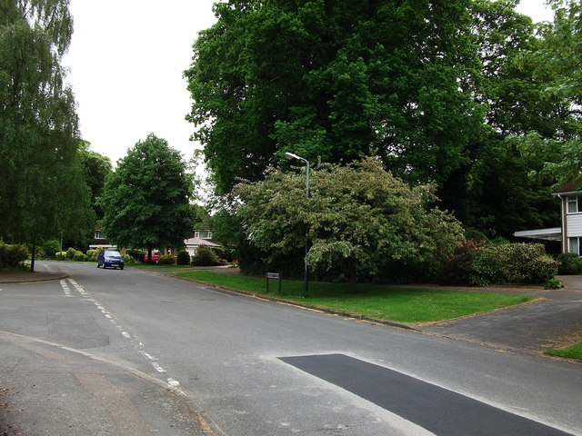
Image: © John Brightley Taken: 26 May 2010
The large trees between the houses on the right mark the site of one of two former stone quarries along this road (the second is by the bend in the distance),from which reputedly stone was obtained to build the Castle and the Abbey. They are overgrown, but still clearly visible holes in the ground. Forty years after the housing estate was built, these two pieces of land are still owned by the estate's developers', Bryant Homes.
Images are licensed for reuse under creativecommons.org/licenses/by-sa/2.0
Image Location
Latitude
52.350923
Longitude
-1.585946