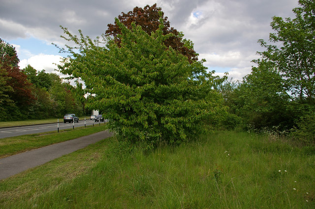
Sevenoaks Road, old and new
Introduction
The photograph on this page of Sevenoaks Road, old and new by Ian Capper as part of the Geograph project.
The Geograph project started in 2005 with the aim of publishing, organising and preserving representative images for every square kilometre of Great Britain, Ireland and the Isle of Man.
There are currently over 7.5m images from over 14,400 individuals and you can help contribute to the project by visiting https://www.geograph.org.uk

Image: © Ian Capper Taken: 28 May 2010
Some maps (including the 1:50,000 tile used on Geograph at the date of submission) still show a short loop running off Sevenoaks Road to the foot of Charmwood Lane - the 1948 and older 1 inch maps show the loop as the course of the main road, the current main road bypassing the loop being a subsequent development. However, other than a few patches of tarmac showing through the grass and shrub, there is now nothing to show for the western part of the loop, seen here on the right of the photo (the current road is visible on the left). The eastern stretch of the loop has now been incorporated in Charmwood Lane.

