Brixton: at Fordbrook
Introduction
The photograph on this page of Brixton: at Fordbrook by Martin Bodman as part of the Geograph project.
The Geograph project started in 2005 with the aim of publishing, organising and preserving representative images for every square kilometre of Great Britain, Ireland and the Isle of Man.

There are currently over 7.5m images from over 14,400 individuals and you can help contribute to the project by visiting https://www.geograph.org.uk
Brixton: at Fordbrook
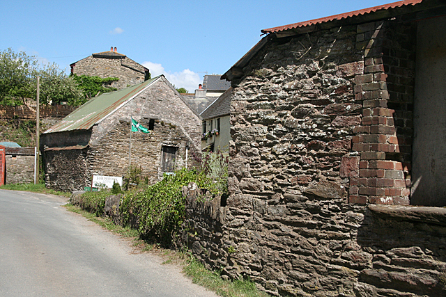
Image: © Martin Bodman Taken: 27 May 2010
Old farm buildings at Wapplewell (foreground) and Fordbrook Farm, now in part in use by Fordbrook Nurseries. The building in the centre has very obviously had its roof raised at some stage
Images are licensed for reuse under creativecommons.org/licenses/by-sa/2.0
Image Location


Leaflet Map data © OpenStreetMap
Latitude
50.351029
Longitude
-4.053271