Newton and Noss: Newton Creek
Introduction
The photograph on this page of Newton and Noss: Newton Creek by Martin Bodman as part of the Geograph project.
The Geograph project started in 2005 with the aim of publishing, organising and preserving representative images for every square kilometre of Great Britain, Ireland and the Isle of Man.

There are currently over 7.5m images from over 14,400 individuals and you can help contribute to the project by visiting https://www.geograph.org.uk
Newton and Noss: Newton Creek
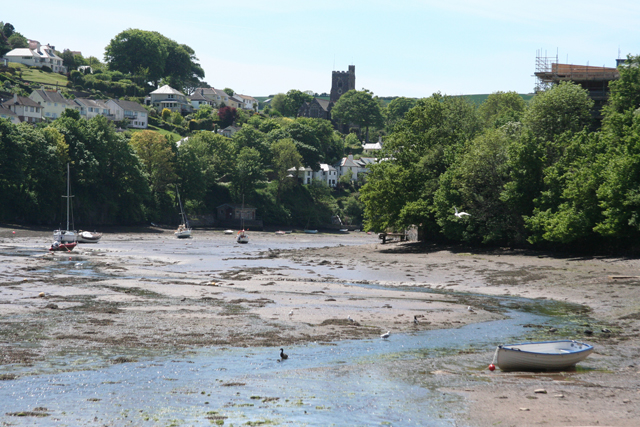
Image: © Martin Bodman Taken: 27 May 2010
At low tide, seen from the road at Bridgend. The church is St Peter's, Noss Mayo; it dates from the 1880s and lies beyond this square
Images are licensed for reuse under creativecommons.org/licenses/by-sa/2.0
Image Location


Leaflet Map data © OpenStreetMap
Latitude
50.314795
Longitude
-4.032044