The summit level
Introduction
The photograph on this page of The summit level by Christine Johnstone as part of the Geograph project.
The Geograph project started in 2005 with the aim of publishing, organising and preserving representative images for every square kilometre of Great Britain, Ireland and the Isle of Man.

There are currently over 7.5m images from over 14,400 individuals and you can help contribute to the project by visiting https://www.geograph.org.uk
The summit level
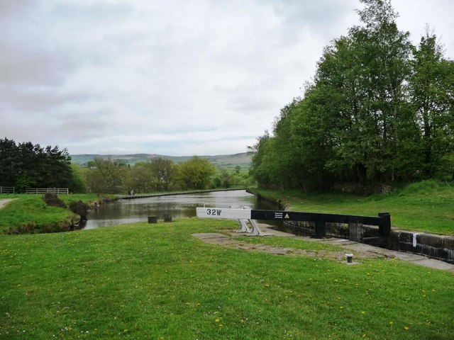
Image: © Christine Johnstone Taken: 19 May 2010
Lock 32W brings the Huddersfield Narrow Canal to its relatively short summit level, most of which is in tunnel.
Images are licensed for reuse under creativecommons.org/licenses/by-sa/2.0
Image Location
Latitude
53.566272
Longitude
-1.996036